
Cadastral & Engineering Surveying
Precise boundary demarcation, topographic surveys, and engineering support for construction projects.
Learn More →Delivering accurate surveying, innovative engineering, secure real estate verification, and trusted geospatial intelligence for individuals, businesses, developers, and institutions across Nigeria and beyond.
Explore practical online tools from GEOMATICS for survey computation, interactive GIS work and professional survey fee estimation.
Plot survey points, measure distance and area, manage layers, transform coordinates and work with survey geometry on an interactive map.
Open Survey GIS →Use bearing, coordinate, area, traverse, levelling, adjustment, projection and other surveying computation tools.
Browse Calculators →Estimate minimum professional survey fees using the configured Lagos schedule and explore published state cadastral schedules.
Calculate Survey Fee →GEOMATICS Survey Corporation is a modern, professional surveying, engineering, geospatial, and real estate solutions company. We deliver accurate data, transparency, innovation, and trusted advisory services across Nigeria and Africa.
With a commitment to excellence and integrity, we help individuals, businesses, developers, and institutions make secure, informed land and property decisions.
Learn More About Us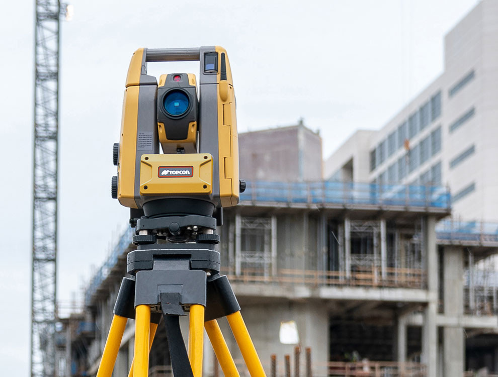
From cadastral surveys to geospatial mapping, we provide end-to-end solutions for all your land and property needs.
Precise boundary demarcation, topographic surveys, and engineering support for construction projects.
Learn More →Advanced GIS solutions, spatial data analysis, and digital mapping for informed decision-making.
Learn More →Comprehensive land documentation services, deed preparation, and charting for secure property transactions.
Learn More →Due diligence services to verify property authenticity, ownership, and legal status before investment.
Learn More →Professional estate planning and layout design for residential and commercial developments.
Learn More →Expert site supervision and project management ensuring quality delivery within timelines.
Learn More →State-of-the-art equipment and methodologies ensuring millimeter-level accuracy in all surveys.
Ethical business practices with full disclosure and honest communication throughout every project.
Latest geospatial technology including GPS, drone mapping, and advanced GIS software.
We empower clients with knowledge to make informed decisions about their land and property.
Consistent on-time delivery with professional documentation and ongoing support.
Deep understanding of Nigerian land laws, regulations, and local government requirements.
Every project we undertake is guided by our PRECISE values
Maintaining the highest standards of professional conduct and ethics in all engagements.
Consistent, dependable service delivery that clients can count on every time.
Pursuing excellence in every survey, every map, and every client interaction.
Putting client needs first and ensuring complete satisfaction with our deliverables.
Honest, transparent dealings with unwavering commitment to ethical standards.
Accuracy and attention to detail in every measurement and documentation.
Optimized processes that deliver quality results within optimal timeframes.
To deliver accurate surveying, innovative engineering, and secure real estate solutions with professionalism and integrity, while empowering clients to make informed decisions and inspiring the next generation of industry professionals.
To be a trusted leader in Surveying, Engineering, and Real Estate across Africa, known for excellence, innovation, and shaping future professionals.
Trusted by clients who value accuracy, professionalism, and dependable surveying solutions.
“The team was professional from the initial site visit to the delivery of the final survey plan. Everything was handled accurately and on schedule.”
“We needed a reliable topographical survey for our project, and GEOMATICS delivered clear data and excellent drawings. Highly recommended.”
“Their field team arrived prepared, worked efficiently, and explained the survey process clearly. The final deliverables were exactly what we needed.”
“Excellent service and attention to detail. Their team helped us resolve site measurement issues quickly and professionally.”
“From consultation to final submission, the experience was smooth and professional. I would gladly recommend their surveying services.”
Founder & Managing Director
A registered surveyor and strategic leader passionate about transforming land management, real estate, and geospatial innovation across Nigeria and Africa. With credentials from University of Lagos, he leads GEOMATICS Survey with a vision for technology-driven surveying excellence.